
IMAGES TAKEN NEAR TO
Station Road, CARTERTON, OX18 3PT
Introduction
This page details the photographs taken nearby to Station Road, OX18 3PT by members of the Geograph project.
The Geograph project started in 2005 with the aim of publishing, organising and preserving representative images for every square kilometre of Great Britain, Ireland and the Isle of Man.

There are currently over 7.5m images from over14,400 individuals and you can help contribute to the project by visiting https://www.geograph.org.uk
Image Map
Images are licensed for reuse under creativecommons.org/licenses/by-sa/2.0
Notes
- Clicking on the map will re-center to the selected point.
- The higher the marker number, the further away the image location is from the centre of the postcode.
Image Listing (19 Images Found)
Images are licensed for reuse under creativecommons.org/licenses/by-sa/2.0
Image
Details
Distance
2
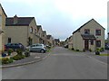
Chestnut Close, Brize Norton
Chestnut Close is a cul-de-sac in Brize Norton. Large planes from the airfield fly overhead relatively often.
Image: © Oscar Taylor
Taken: 13 May 2023
0.07 miles
3
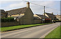
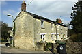
Buildings at Upper Haddon Farm, Station Road
Image: © Roger Templeman
Taken: 24 Mar 2017
0.07 miles
4
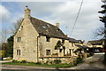
'Olde Well Cottage', #109 Station Road
Image: © Roger Templeman
Taken: 24 Mar 2017
0.09 miles
5
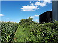
Public footpath, Brize Norton
The footpath is very little used. It is very overgrown and almost impassable further on in this direction and leads nowhere in the other.
Image: © Vieve Forward
Taken: 20 Aug 2020
0.10 miles
7
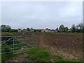
Farmland east of Brize Norton
Farmland to the east of Brize Norton. A public footpath crosses the field. The houses in the distance are on Image
Image: © Oscar Taylor
Taken: 13 May 2023
0.12 miles
9
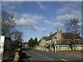
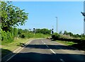
The Chequers and Main Street, Brize Norton.
Image: © Jonathan Billinger
Taken: 23 Jan 2007
0.13 miles
10
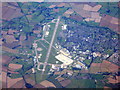
Brize Norton
The southern edge of the village at the west end of the airfield.
Image: © M J Richardson
Taken: 26 Sep 2015
0.14 miles