Chestnut Close, Brize Norton
Introduction
The photograph on this page of Chestnut Close, Brize Norton by Oscar Taylor as part of the Geograph project.
The Geograph project started in 2005 with the aim of publishing, organising and preserving representative images for every square kilometre of Great Britain, Ireland and the Isle of Man.

There are currently over 7.5m images from over 14,400 individuals and you can help contribute to the project by visiting https://www.geograph.org.uk
Chestnut Close, Brize Norton
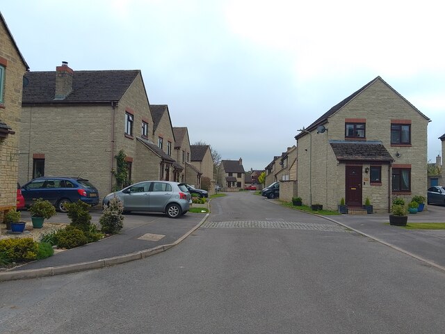
Image: © Oscar Taylor Taken: 13 May 2023
Chestnut Close is a cul-de-sac in Brize Norton. Large planes from the airfield fly overhead relatively often.
Images are licensed for reuse under creativecommons.org/licenses/by-sa/2.0
Image Location
Latitude
51.762041
Longitude
-1.563096