
IMAGES TAKEN NEAR TO
The Bourne, BANBURY, OX15 5PB
Introduction
This page details the photographs taken nearby to The Bourne, OX15 5PB by members of the Geograph project.
The Geograph project started in 2005 with the aim of publishing, organising and preserving representative images for every square kilometre of Great Britain, Ireland and the Isle of Man.

There are currently over 7.5m images from over14,400 individuals and you can help contribute to the project by visiting https://www.geograph.org.uk
Image Map
Images are licensed for reuse under creativecommons.org/licenses/by-sa/2.0
Notes
- Clicking on the map will re-center to the selected point.
- The higher the marker number, the further away the image location is from the centre of the postcode.
Image Listing (212 Images Found)
Images are licensed for reuse under creativecommons.org/licenses/by-sa/2.0
Image
Details
Distance
1
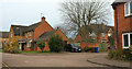
Old School End, Hook Norton
A right-angled bend in the cul-de-sac, seen looking back to the left from Image
Image: © Derek Harper
Taken: 10 Feb 2022
0.06 miles
2
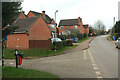
Junction, The Bourne, Hook Norton
With Watery Lane.
Image: © Derek Harper
Taken: 10 Feb 2022
0.07 miles
3
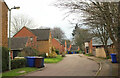
Old School End, Hook Norton
Further along the cul-de-sac seen in Image Footpath 253 16/10 is mapped as following the road.
Image: © Derek Harper
Taken: 10 Feb 2022
0.07 miles
4
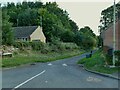
Watery Lane, off The Bourne, Hook Norton
I read in the brewery's visitor centre that this got its name from the lane becoming a stream in wet weather (the name of the road at the top end - The Bourne - also suggests a seasonal stream).
Image: © Stephen Craven
Taken: 20 Sep 2021
0.07 miles
5
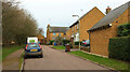
Old School End, Hook Norton
Looking in the opposite direction from Image
Image: © Derek Harper
Taken: 10 Feb 2022
0.07 miles
6

Hook Norton Sports and Social Club
Set up for cricket in the summer, but aerial imagery shows it can accommodate two football pitches at other times.
Image: © Stephen Craven
Taken: 20 Sep 2021
0.07 miles
7

Old School End, Hook Norton
Reached along footpath 253 16/10 from the scene in Image
Image: © Derek Harper
Taken: 10 Feb 2022
0.08 miles
8
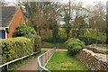
Path to Watery Lane, Hook Norton
Footpath 253 16/10 drops to meet the lane, with a play area on the far side.
Image: © Derek Harper
Taken: 10 Feb 2022
0.09 miles
9
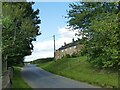
Clay Bank, Hook Norton
The start of the road to the next village of Sibford Gower.
Image: © Stephen Craven
Taken: 20 Sep 2021
0.10 miles
10
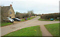
Junction on Clay Bank, Hook Norton
The Bourne turns off to the right. The public footpath sign marks the start of footpath 253 9/30.
Image: © Derek Harper
Taken: 10 Feb 2022
0.10 miles