Watery Lane, off The Bourne, Hook Norton
Introduction
The photograph on this page of Watery Lane, off The Bourne, Hook Norton by Stephen Craven as part of the Geograph project.
The Geograph project started in 2005 with the aim of publishing, organising and preserving representative images for every square kilometre of Great Britain, Ireland and the Isle of Man.

There are currently over 7.5m images from over 14,400 individuals and you can help contribute to the project by visiting https://www.geograph.org.uk
Watery Lane, off The Bourne, Hook Norton
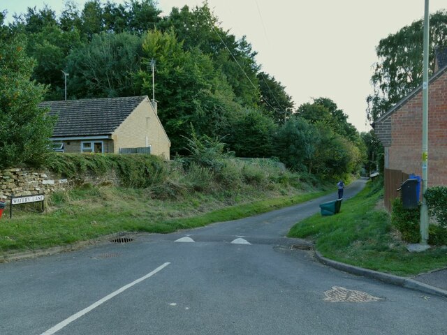
Image: © Stephen Craven Taken: 20 Sep 2021
I read in the brewery's visitor centre that this got its name from the lane becoming a stream in wet weather (the name of the road at the top end - The Bourne - also suggests a seasonal stream).
Images are licensed for reuse under creativecommons.org/licenses/by-sa/2.0
Image Location


Leaflet Map data © OpenStreetMap
Latitude
51.996936
Longitude
-1.486532