
IMAGES TAKEN NEAR TO
Thurston Clough Road, OLDHAM, OL3 5RE
Introduction
This page details the photographs taken nearby to Thurston Clough Road, OL3 5RE by members of the Geograph project.
The Geograph project started in 2005 with the aim of publishing, organising and preserving representative images for every square kilometre of Great Britain, Ireland and the Isle of Man.

There are currently over 7.5m images from over14,400 individuals and you can help contribute to the project by visiting https://www.geograph.org.uk
Image Map
Images are licensed for reuse under creativecommons.org/licenses/by-sa/2.0
Notes
- Clicking on the map will re-center to the selected point.
- The higher the marker number, the further away the image location is from the centre of the postcode.
Image Listing (20 Images Found)
Images are licensed for reuse under creativecommons.org/licenses/by-sa/2.0
Image
Details
Distance
1

Thurston Clough Footpath
Access to the footpath, adjacent to the stream at Thurston Clough. This leads down onto the A62 trunk road near Delph.
Image: © Roger May
Taken: 9 Oct 2005
0.03 miles
2
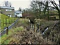
Flood defences in Thurston Clough
There appears to be a new culvert under the road and associated stream side walling and gabions
Image: © Kevin Waterhouse
Taken: 6 Jan 2023
0.04 miles
3
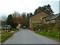
Thurston Clough Road at Higher House Cottage
Image: © Alexander P Kapp
Taken: 14 Nov 2012
0.07 miles
4

Footpath, Thurston Clough
Towards Thurston Clough Road.
Image: © JThomas
Taken: 2 Nov 2018
0.07 miles
5
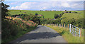
Thurston Clough Road
This quiet lane was once part of a major trans-Pennine routeway, the Wakefield and Austerlands turnpike road, opened in about 1759.
Image: © Michael Fox
Taken: 22 Aug 2010
0.08 miles
6
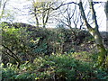
Overgrown rock face, Thurston Clough
Probably an old quarry.
Image: © JThomas
Taken: 2 Nov 2018
0.08 miles
7
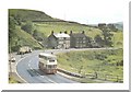
Oldham Road in 1968
A brand new Oldham Corporation Leyland Atlantean double decker bus is seen here in 1968 on the A62 Huddersfield Road in Delph after passing the old Cross Keys public house.
Image: © Paul Anderson
Taken: Unknown
0.11 miles
8
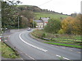
Oldham Road in 2006
Compare this with Image and you will see over the last 38 years how all the trees have grown and the former Cross Keys pub,now restaurant, has had an extension built on to the side.
Image: © Paul Anderson
Taken: 15 Nov 2006
0.11 miles
9
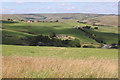
Thurston Clough from High Moor
In the centre of the picture is the restored farmstead called Valenciennes, with Hill Top and Knott Hill behind.
Image: © Michael Fox
Taken: 24 Jul 2011
0.16 miles
10
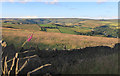
Thurston Clough and Delph from High Moor.
This location is typical of the bare upland in the north-western parts of Saddleworth.
Image: © Michael Fox
Taken: 6 Jul 2014
0.17 miles