Thurston Clough Road
Introduction
The photograph on this page of Thurston Clough Road by Michael Fox as part of the Geograph project.
The Geograph project started in 2005 with the aim of publishing, organising and preserving representative images for every square kilometre of Great Britain, Ireland and the Isle of Man.

There are currently over 7.5m images from over 14,400 individuals and you can help contribute to the project by visiting https://www.geograph.org.uk
Thurston Clough Road
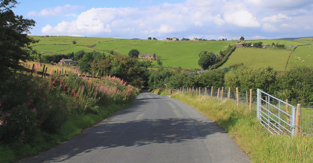
Image: © Michael Fox Taken: 22 Aug 2010
This quiet lane was once part of a major trans-Pennine routeway, the Wakefield and Austerlands turnpike road, opened in about 1759.
Images are licensed for reuse under creativecommons.org/licenses/by-sa/2.0
Image Location


Leaflet Map data © OpenStreetMap
Latitude
53.558446
Longitude
-2.035588