
IMAGES TAKEN NEAR TO
Elmstone Drive, OLDHAM, OL2 6DH
Introduction
This page details the photographs taken nearby to Elmstone Drive, OL2 6DH by members of the Geograph project.
The Geograph project started in 2005 with the aim of publishing, organising and preserving representative images for every square kilometre of Great Britain, Ireland and the Isle of Man.

There are currently over 7.5m images from over14,400 individuals and you can help contribute to the project by visiting https://www.geograph.org.uk
Image Map
Images are licensed for reuse under creativecommons.org/licenses/by-sa/2.0
Notes
- Clicking on the map will re-center to the selected point.
- The higher the marker number, the further away the image location is from the centre of the postcode.
Image Listing (35 Images Found)
Images are licensed for reuse under creativecommons.org/licenses/by-sa/2.0
Image
Details
Distance
1

Whatever Happened To Park Mill?
A new housing estate occupies the site of one of Royton's numerous cotton mills.
Image: © Peter Whatley
Taken: 21 Jan 2010
0.01 miles
2
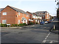
Royton - New Housing On Bleasdale Street
New housing has filled a white space on the 2009 edition of the OS 1:50k map.
Image: © Peter Whatley
Taken: 21 Jan 2010
0.03 miles
3
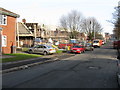
Royton - House Construction On Bleasdale Street
Image: © Peter Whatley
Taken: 21 Jan 2010
0.10 miles
4
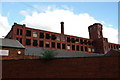
Sandy Mill Royton
This mill is in the throes of demolition; the old floor boards have been taken up and are protruding through the windows, many of which have lost their frames
Image: © Alexander P Kapp
Taken: 1 Nov 2005
0.15 miles
5
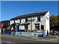
The Bluebelle, Royton
Bar and restaurant on Rochdale Road.
Image: © JThomas
Taken: 10 Oct 2018
0.15 miles
6
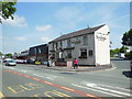
The Bluebelle bar & restaurant on Rochdale Road
Image: © Ian S
Taken: 8 Jun 2013
0.16 miles
9

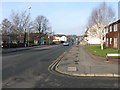
Swaledale Close, Royton
A view down Swaledale Close, in Royton, Greater Manchester, England. This cul-de-sac is part of a outlying suburban development to the northeast of Royton town centre - bordering on to Low Crompton.
Image: © Steven Haslington
Taken: 25 Jul 2011
0.17 miles
10
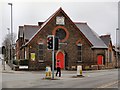
Bethesda Chapel
The corner of Rochdale Road (A671) and Dogford Road.
Image: © David Dixon
Taken: 1 Mar 2010
0.17 miles