Sandy Mill Royton
Introduction
The photograph on this page of Sandy Mill Royton by Alexander P Kapp as part of the Geograph project.
The Geograph project started in 2005 with the aim of publishing, organising and preserving representative images for every square kilometre of Great Britain, Ireland and the Isle of Man.

There are currently over 7.5m images from over 14,400 individuals and you can help contribute to the project by visiting https://www.geograph.org.uk
Sandy Mill Royton
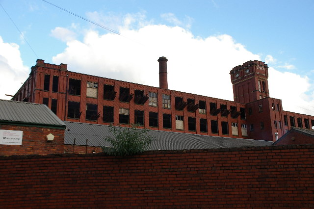
Image: © Alexander P Kapp Taken: 1 Nov 2005
This mill is in the throes of demolition; the old floor boards have been taken up and are protruding through the windows, many of which have lost their frames
Images are licensed for reuse under creativecommons.org/licenses/by-sa/2.0
Image Location


Leaflet Map data © OpenStreetMap
Latitude
53.57034
Longitude
-2.125293