
IMAGES TAKEN NEAR TO
The Ridgeway, LONDON, NW7 4ER
Introduction
This page details the photographs taken nearby to The Ridgeway, NW7 4ER by members of the Geograph project.
The Geograph project started in 2005 with the aim of publishing, organising and preserving representative images for every square kilometre of Great Britain, Ireland and the Isle of Man.

There are currently over 7.5m images from over14,400 individuals and you can help contribute to the project by visiting https://www.geograph.org.uk
Image Map
Images are licensed for reuse under creativecommons.org/licenses/by-sa/2.0
Notes
- Clicking on the map will re-center to the selected point.
- The higher the marker number, the further away the image location is from the centre of the postcode.
Image Listing (78 Images Found)
Images are licensed for reuse under creativecommons.org/licenses/by-sa/2.0
Image
Details
Distance
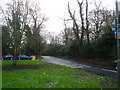
3
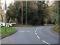
The Ridgeway NW7
Looking to the junction with Holcombe Hill
Image: © Robin Sones
Taken: 27 Nov 2011
0.01 miles
6
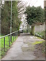
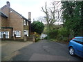
Footpath between Lawrence Street and The Ridgeway, NW7
Image: © Mike Quinn
Taken: 14 Feb 2012
0.02 miles
8
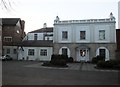
The Old Forge, Highwood Hill / Lawrence Street, NW7
Image: © Mike Quinn
Taken: 14 Feb 2012
0.05 miles
9
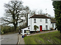
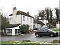
The Old Forge, Mill Hill
Footpaths to Totteridge Common start through the gate at the extreme left.
Image: © Robin Webster
Taken: 21 Mar 2013
0.05 miles
10
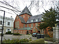
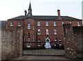
St. Francis Chapel
A chapel for the Roman Catholic school here. A grade II listed building, built 1888/9.
Image: © Robin Webster
Taken: 21 Mar 2013
0.05 miles