
IMAGES TAKEN NEAR TO
Courtland Avenue, LONDON, NW7 3BG
Introduction
This page details the photographs taken nearby to Courtland Avenue, NW7 3BG by members of the Geograph project.
The Geograph project started in 2005 with the aim of publishing, organising and preserving representative images for every square kilometre of Great Britain, Ireland and the Isle of Man.

There are currently over 7.5m images from over14,400 individuals and you can help contribute to the project by visiting https://www.geograph.org.uk
Image Map
Images are licensed for reuse under creativecommons.org/licenses/by-sa/2.0
Notes
- Clicking on the map will re-center to the selected point.
- The higher the marker number, the further away the image location is from the centre of the postcode.
Image Listing (18 Images Found)
Images are licensed for reuse under creativecommons.org/licenses/by-sa/2.0
Image
Details
Distance
1
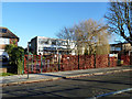
Courtland School
A one form entry primary school.
Image: © Robin Webster
Taken: 2 Dec 2012
0.02 miles
2
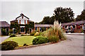
Mill Hill Golf Club
As featured in a 1965 episode of the classic television show The Avengers (episode: The Thirteenth Hole)
Image: © Duncan Lilly
Taken: 26 Jun 2004
0.05 miles
4
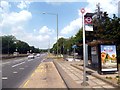
The Fairway Bus Stop
This is the A1 which at this point runs beside Mill Hill Golf Course. It also separates the course from the Club House, and the subway beyond the bus stop is much used by golfers.
The London Loop long distance path also has to use this subway. Ideally, the path would cross by the trees in the distance but there is no way over and you have to make this detour.
Image: © Des Blenkinsopp
Taken: 17 Jul 2013
0.07 miles
5
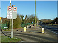
Weight restrictions on The Fairway
A turning off the A1. Ahead is the last chance for pedestrians to cross the A1 by subway or bridge for a long way.
Image: © Robin Webster
Taken: 2 Dec 2012
0.10 miles
6
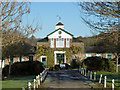
Mill Hill Golf Club club house
The club house is east of the A1, the course is to the west.
Image: © Robin Webster
Taken: 2 Dec 2012
0.11 miles
7
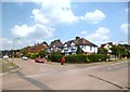
Bedford Road, Mill Hill
Junction with Worcester Crescent.
Image: © Des Blenkinsopp
Taken: 17 Jul 2013
0.11 miles
9
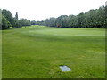
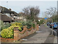
Mill Hill Golf Course
The A1 and the London Loop pass just the other side of the trees on the right - see https://www.geograph.org.uk/photo/7182282
Image: © Marathon
Taken: 25 May 2022
0.15 miles
10
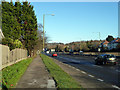
Footpath by the A1
The A1 has a path (also for cycles) along each side for a considerable distance, although safe means of getting from one to the other are rather limited.
Image: © Robin Webster
Taken: 2 Dec 2012
0.16 miles