
IMAGES TAKEN NEAR TO
Fakenham Close, LONDON, NW7 2SD
Introduction
This page details the photographs taken nearby to Fakenham Close, NW7 2SD by members of the Geograph project.
The Geograph project started in 2005 with the aim of publishing, organising and preserving representative images for every square kilometre of Great Britain, Ireland and the Isle of Man.

There are currently over 7.5m images from over14,400 individuals and you can help contribute to the project by visiting https://www.geograph.org.uk
Image Map
Images are licensed for reuse under creativecommons.org/licenses/by-sa/2.0
Notes
- Clicking on the map will re-center to the selected point.
- The higher the marker number, the further away the image location is from the centre of the postcode.
Image Listing (57 Images Found)
Images are licensed for reuse under creativecommons.org/licenses/by-sa/2.0
Image
Details
Distance
1
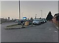
Watford Way at the corner of Tithe Walk
Image: © David Howard
Taken: 2 Mar 2021
0.11 miles
5
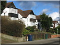
Bunn's Lane, NW7 (3)
The north side, west of its junction with Rowlands Close.
Image: © Mike Quinn
Taken: 26 Feb 2020
0.13 miles
6
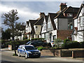
Bunn's Lane, NW7 (2)
The north side, west of Copthall Drive.
Image: © Mike Quinn
Taken: 26 Feb 2020
0.13 miles
7
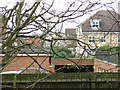
Houses in Bampton Drive, NW7
Photo taken from Page Street, immediately above the western end of the Image looking along the course of the former Mill Hill East to Edgware railway line - see Image This relatively recent housing development, which stretches for about 500 m to the A1, would make re-instatement of the line mildly problematical - see https://goo.gl/maps/iJ9tdaH2Myq7jMAD9 .
Image: © Mike Quinn
Taken: 26 Feb 2020
0.13 miles
8
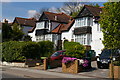
Suburban housing, Bunn's Lane, Mill Hill
Image: © Christopher Hilton
Taken: 19 Apr 2017
0.14 miles
9
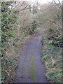
Old road - even older railway
Photo taken from the A1 looking along the course of the former Mill Hill East to Edgware railway line - see Image The railway would have carried straight on where the road starts to curve to the right. The road was part of the junction at the original end of the M1 motorway where it merged with the A1. It closed in 1977 with the extension of the M1 to Staples Corner. See also Image and Image
Image: © Mike Quinn
Taken: 26 Feb 2020
0.14 miles
10
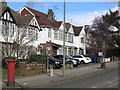
Bunn's Lane, NW7
The north side, just beyond its junction with Copthall Drive.
Image: © Mike Quinn
Taken: 26 Feb 2020
0.15 miles