IMAGES TAKEN NEAR TO
Cotleigh Road, LONDON, NW6 2NP
Introduction
This page details the photographs taken nearby to Cotleigh Road, NW6 2NP by members of the Geograph project.
The Geograph project started in 2005 with the aim of publishing, organising and preserving representative images for every square kilometre of Great Britain, Ireland and the Isle of Man.

There are currently over 7.5m images from over14,400 individuals and you can help contribute to the project by visiting https://www.geograph.org.uk
Image Map
Images are licensed for reuse under creativecommons.org/licenses/by-sa/2.0
Notes
- Clicking on the map will re-center to the selected point.
- The higher the marker number, the further away the image location is from the centre of the postcode.
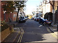
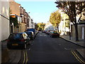
Image Listing (202 Images Found)
Images are licensed for reuse under creativecommons.org/licenses/by-sa/2.0
Image
Details
Distance
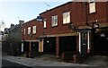
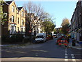
5
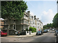
Hemstal Road, Hampstead
Junction with Kylemore Road.
Image: © Des Blenkinsopp
Taken: 8 Jun 2016
0.05 miles
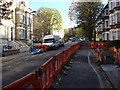
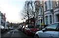
6
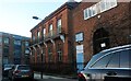
Kingsgate Community Centre, West Hampstead
Image: © David Howard
Taken: 22 Nov 2020
0.07 miles