IMAGES TAKEN NEAR TO
Watford Way, LONDON, NW4 4XA
Introduction
This page details the photographs taken nearby to Watford Way, NW4 4XA by members of the Geograph project.
The Geograph project started in 2005 with the aim of publishing, organising and preserving representative images for every square kilometre of Great Britain, Ireland and the Isle of Man.

There are currently over 7.5m images from over14,400 individuals and you can help contribute to the project by visiting https://www.geograph.org.uk
Image Map
Images are licensed for reuse under creativecommons.org/licenses/by-sa/2.0
Notes
- Clicking on the map will re-center to the selected point.
- The higher the marker number, the further away the image location is from the centre of the postcode.
Image Listing (158 Images Found)
Images are licensed for reuse under creativecommons.org/licenses/by-sa/2.0
Image
Details
Distance
2
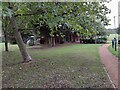
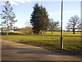
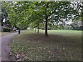
Sunnyhill Park, Hendon
The cafe is behind the trees, and comes highly recommended.
Image: © David Howard
Taken: 7 Oct 2021
0.03 miles
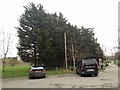
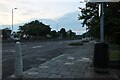
6
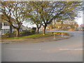
Hall Lane at the junction of Watford Way
Image: © David Howard
Taken: 25 Mar 2014
0.05 miles
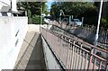
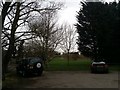
7
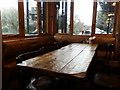
Table in Sunny Hill Park Cafe
This is a fairly newly rebuilt cafe, originally more of a tent and now a log cabin. It serves mainly Israeli food and has a free car park outside.
Image: © David Howard
Taken: 2 Mar 2019
0.05 miles