IMAGES TAKEN NEAR TO
Faber Gardens, LONDON, NW4 4NR
Introduction
This page details the photographs taken nearby to Faber Gardens, NW4 4NR by members of the Geograph project.
The Geograph project started in 2005 with the aim of publishing, organising and preserving representative images for every square kilometre of Great Britain, Ireland and the Isle of Man.

There are currently over 7.5m images from over14,400 individuals and you can help contribute to the project by visiting https://www.geograph.org.uk
Image Map (Loading...)


Getting Data...Please wait
Leaflet Map data © OpenStreetMap
Images are licensed for reuse under creativecommons.org/licenses/by-sa/2.0
Notes
- Clicking on the map will re-center to the selected point.
- The higher the marker number, the further away the image location is from the centre of the postcode.
Image Listing (104 Images Found)
Images are licensed for reuse under creativecommons.org/licenses/by-sa/2.0
Image
Details
Distance
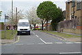
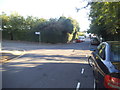
5
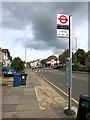
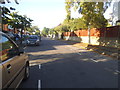
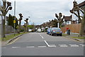
Audley Road Bus Stop
This is Station Road you can see here. Audley Road is off to the right.
Image: © Des Blenkinsopp
Taken: 16 Oct 2014
0.07 miles
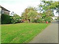
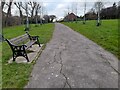
7

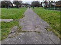
The entrance to Malcolm Park on Talbot Crescent
Image: © David Howard
Taken: 7 Sep 2016
0.08 miles