
IMAGES TAKEN NEAR TO
Prince Albert Road, LONDON, NW1 7SR
Introduction
This page details the photographs taken nearby to Prince Albert Road, NW1 7SR by members of the Geograph project.
The Geograph project started in 2005 with the aim of publishing, organising and preserving representative images for every square kilometre of Great Britain, Ireland and the Isle of Man.

There are currently over 7.5m images from over14,400 individuals and you can help contribute to the project by visiting https://www.geograph.org.uk
Image Map
Images are licensed for reuse under creativecommons.org/licenses/by-sa/2.0
Notes
- Clicking on the map will re-center to the selected point.
- The higher the marker number, the further away the image location is from the centre of the postcode.
Image Listing (481 Images Found)
Images are licensed for reuse under creativecommons.org/licenses/by-sa/2.0
Image
Details
Distance
2
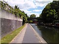
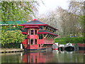
Mooring point on Regent's Canal
Nearing Camden Lock now and there is a large mooring point for narrowboats and barges just before the Regent's Park Road bridge. At this point the canal rounds a sharp bend and carries on into Camden Lock.
Image: © Robert Lamb
Taken: 5 Jul 2010
0.01 miles
3
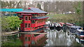
Cumberland Turn, Regent's Canal
The Regent's Canal passes Regent's Park Zoo, and turns left at this junction. The Feng Shang Floating Restaurant can be seen in the middle-distance.
Image: © Peter Trimming
Taken: 26 Feb 2009
0.01 miles
4
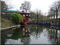
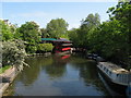
Floating Chinese Restaurant
This boat is moored on the Regent's Canal. It is reached from Prince Albert Road on the north eastern edge of Regent's Park. This view is from the canal tow path.
Image: © Sheila Madhvani
Taken: 24 Jan 2009
0.02 miles
6
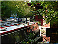
Cumberland Basin
Cumberland Basin is a short stub-end arm of the Regent's Canal, home to a number of narrowboats and an extraordinary floating Chinese restaurant. Note the gnomes on top of the nearest boat.
Image: © Stephen McKay
Taken: 18 Oct 2007
0.02 miles
7

Cumberland Basin, Regents Canal
The red building is the fengshang which is a floating Chinese restaurant, moored at Cumberland Basin on the edge of Regent's Park - an abbreviated stub of the Regent's Canal which once led towards Euston. Taken from the footbridge across the canal at the north east corner of London Zoo.
Image: © Nigel Mykura
Taken: 12 Apr 2011
0.02 miles
8
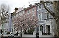
Georgian terrace on Regents Park Road, Primrose Hill
Image: © David Howard
Taken: 21 Mar 2019
0.03 miles
9
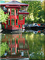
Cumberland Basin
After skirting the northern side of Regent's Park, the Regent's Canal takes a right angle bend to the left heading towards Camden Town. A few yards of canal continue straight on to form Cumberland Basin, home to this floating Chinese restaurant - surely, one of the most astonishing sites anywhere on the canal network.
Image: © Stephen McKay
Taken: 18 Oct 2007
0.03 miles
10
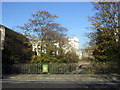
Water Meeting Bridge
This bridge carries Prince Albert Road over Regent's Canal close the point at which it meets the Grand Union Canal. On the left stands St Mark's church, only a part of it visible here. A plaque states that the bridge was rebuilt in 1961.
The bridge carrying Regent's Park Road can be seen behind.
Image: © Natasha Ceridwen de Chroustchoff
Taken: 15 Nov 2007
0.03 miles