1
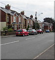
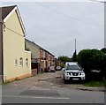
Lowlands Road houses, Cwmbran
Houses on the east side of Lowlands Road viewed from the corner of Parc Avenue.
Lowlands Court flats http://www.geograph.org.uk/photo/5413705 are on the right.
Image: © Jaggery
Taken: 20 Sep 2016
0.01 miles
2
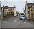
Lowlands Court, Pontnewydd, Cwmbran
Flats on the east side of Lowlands Road.
Image: © Jaggery
Taken: 20 Sep 2016
0.02 miles
3
Penllyn Avenue, Pontnewydd, Cwmbran
Dead end street on the north side of Park View.
Image: © Jaggery
Taken: 20 Sep 2016
0.03 miles
4
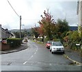
Parc Avenue, Cwmbran
Looking along Parc Avenue across Lowlands Road from the corner of Charles Street. http://www.geograph.org.uk/photo/2080091
Image: © Jaggery
Taken: 23 Sep 2010
0.04 miles
5
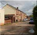
Charles Street, Pontnewydd, Cwmbran
Houses on the north side of Charles Street, a short cul-de-sac on the east side of Lowlands Road, opposite Parc Avenue.http://www.geograph.org.uk/photo/2080074 The bad condition of the road surface suggests this could be an unadopted street (a private street not maintained by the local authority.)
Image: © Jaggery
Taken: 23 Sep 2010
0.04 miles
6
Charles Street, Pontnewydd, Cwmbran
Cul-de-sac extending for 65 metres from the east side of Lowlands Road.
Image: © Jaggery
Taken: 20 Sep 2016
0.04 miles
7
Park View electricity substation, Pontnewydd, Cwmbran
The Western Power Distribution electricity substation, identifier S/S 531920,
is on the south side of Park View opposite the Penllyn Avenue junction.
Image: © Jaggery
Taken: 20 Sep 2016
0.05 miles
8
Ordnance Survey Cut Mark
This OS cut mark can be found on the Council Offices. It marks a point 82.028m above mean sea level.
Image: © Adrian Dust
Taken: 17 Aug 2020
0.06 miles
9
Clark Avenue semis, Pontnewydd, Cwmbran
Semi-detached houses on the north side of Clark Avenue.
Image: © Jaggery
Taken: 20 Sep 2016
0.06 miles
10
Park View, Pontnewydd, Cwmbran
Houses on the north side of Park View, which is accurately named. The southern side of the road is the edge of a small park.
Image: © Jaggery
Taken: 23 Sep 2010
0.06 miles


