Charles Street, Pontnewydd, Cwmbran
Introduction
The photograph on this page of Charles Street, Pontnewydd, Cwmbran by Jaggery as part of the Geograph project.
The Geograph project started in 2005 with the aim of publishing, organising and preserving representative images for every square kilometre of Great Britain, Ireland and the Isle of Man.

There are currently over 7.5m images from over 14,400 individuals and you can help contribute to the project by visiting https://www.geograph.org.uk
Charles Street, Pontnewydd, Cwmbran
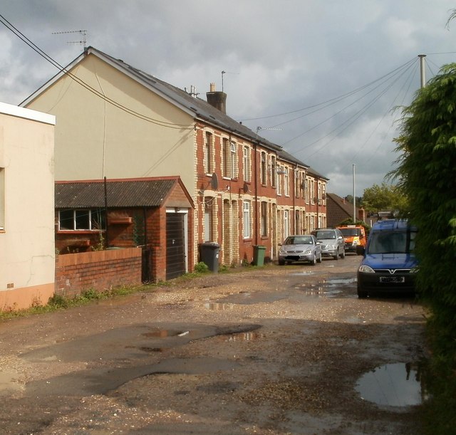
Image: © Jaggery Taken: 23 Sep 2010
Houses on the north side of Charles Street, a short cul-de-sac on the east side of Lowlands Road, opposite Parc Avenue.http://www.geograph.org.uk/photo/2080074 The bad condition of the road surface suggests this could be an unadopted street (a private street not maintained by the local authority.)
Images are licensed for reuse under creativecommons.org/licenses/by-sa/2.0
Image Location
Latitude
51.664587
Longitude
-3.026504