1
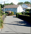
Railway bridge, Penperlleni
Viewed from the corner of School Lane and Newtown Road. The bridge carries
the road over the Welsh Marches railway. At the house, turn right
into Plough Lane http://www.geograph.org.uk/photo/3327512 for the road to Monskwood, or bear left to stay on Star Road.
Image: © Jaggery
Taken: 30 Jun 2011
0.00 miles
2
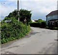
20mph zone, Star Road, Penperlleni
Only about 100 metres beyond the reduction in speed to 30mph http://www.geograph.org.uk/photo/3323987 along Star Road,
the speed limit drops to 20mph on the approach to a school.
Image: © Jaggery
Taken: 30 Jun 2011
0.01 miles
3
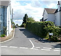
Monkswood direction sign in a Penperlleni hedge
For Monkswood, turn right into Plough Road https://www.geograph.org.uk/photo/6139675
Image: © Jaggery
Taken: 12 Jun 2016
0.01 miles
4
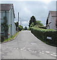
Plough Road, Penperlleni
Plough Road heads SSE away from Star Road towards Monkswood.
Image: © Jaggery
Taken: 30 Jun 2011
0.02 miles
5
Along Plough Road, Penperlleni
This way for Penpedairheol and Monkswood.
The sign in the hedge shows that Plough Road is Heol yr Aradr in Welsh.
Image: © Jaggery
Taken: 12 Jun 2016
0.02 miles
6
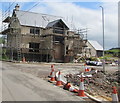
House construction site, Star Road, Penperlleni
Viewed in June 2016.
Image: © Jaggery
Taken: 12 Jun 2016
0.03 miles
7
House construction in Penperlleni
Viewed from Star Road in June 2016.
Image: © Jaggery
Taken: 12 Jun 2016
0.04 miles
8
St Peter's Church direction sign, Newtown Road, Penperlleni
Left for this https://www.geograph.org.uk/photo/3532346 church. The bilingual road name sign shows Newtown Road is Heol Drenewydd in Welsh.
Image: © Jaggery
Taken: 12 Jun 2016
0.04 miles
9
School Lane railway bridge, Penperlleni
The bridge carries the lane over the Welsh Marches Line railway.
Image: © Jaggery
Taken: 12 Jun 2016
0.04 miles
10
Railway, from bridge at Penperlleni
Serendipitous timing on my part, to actually see a train!
Image: © Ruth Sharville
Taken: 20 Apr 2007
0.04 miles


