20mph zone, Star Road, Penperlleni
Introduction
The photograph on this page of 20mph zone, Star Road, Penperlleni by Jaggery as part of the Geograph project.
The Geograph project started in 2005 with the aim of publishing, organising and preserving representative images for every square kilometre of Great Britain, Ireland and the Isle of Man.

There are currently over 7.5m images from over 14,400 individuals and you can help contribute to the project by visiting https://www.geograph.org.uk
20mph zone, Star Road, Penperlleni
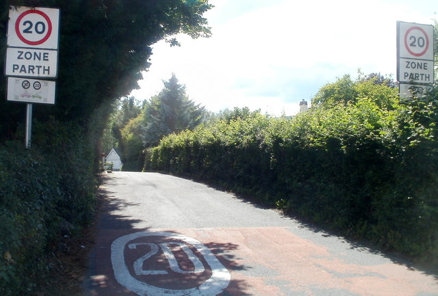
Image: © Jaggery Taken: 30 Jun 2011
Only about 100 metres beyond the reduction in speed to 30mph http://www.geograph.org.uk/photo/3323987 along Star Road, the speed limit drops to 20mph on the approach to a school.
Images are licensed for reuse under creativecommons.org/licenses/by-sa/2.0
Image Location
Latitude
51.735481
Longitude
-2.979597