
IMAGES TAKEN NEAR TO
Pilton Close, NORTHAMPTON, NN3 5EZ
Introduction
This page details the photographs taken nearby to Pilton Close, NN3 5EZ by members of the Geograph project.
The Geograph project started in 2005 with the aim of publishing, organising and preserving representative images for every square kilometre of Great Britain, Ireland and the Isle of Man.

There are currently over 7.5m images from over14,400 individuals and you can help contribute to the project by visiting https://www.geograph.org.uk
Image Map
Images are licensed for reuse under creativecommons.org/licenses/by-sa/2.0
Notes
- Clicking on the map will re-center to the selected point.
- The higher the marker number, the further away the image location is from the centre of the postcode.
Image Listing (16 Images Found)
Images are licensed for reuse under creativecommons.org/licenses/by-sa/2.0
Image
Details
Distance
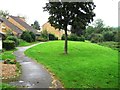
2
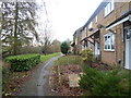
Ermine Road
1970s council houses in Rectory Farm.
Image: © Burgess Von Thunen
Taken: 7 Jan 2015
0.13 miles
3
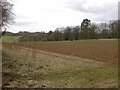
Ecton Field Plantation
Taken from a corner of the Byway. The southern end of the wood is seen to the left of the image.
Image: © Kokai
Taken: 12 Apr 2006
0.17 miles
5
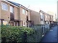
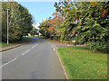
Marburg Street
2010s houses in Rectory Farm.
Image: © Burgess Von Thunen
Taken: 23 Sep 2015
0.18 miles
6
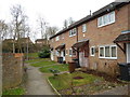
Ermine Road
1970s council houses in Rectory Farm.
Image: © Burgess Von Thunen
Taken: 6 Mar 2014
0.18 miles
7
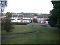
Footpath to Mortar Pit Road, Rectory Farm
Zigzagging to lose height gently after crossing Great Billing Way on a footbridge (behind the photographer). Rectory Farm is on the eastern edge of Northampton, hence the countryside visible beyond the houses.
Image: © Richard Vince
Taken: 9 Oct 2021
0.18 miles
8
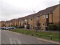
Marburg Street
2000s shared ownership houses in Rectory Farm.
Image: © Burgess Von Thunen
Taken: 22 Apr 2016
0.19 miles
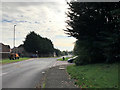
10
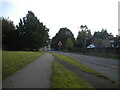
Great Billing Way, Overstone Lodge
Linking Northampton's easternmost housing estates with the A45, severing many said estates from one another in the process. At this point, the road firmly separates Overstone Lodge (right) from Rectory Farm (just out of frame to the left); they are linked by a footbridge immediately behind (and well above) the photographer.
Image: © Richard Vince
Taken: 9 Oct 2021
0.21 miles