Great Billing Way, Overstone Lodge
Introduction
The photograph on this page of Great Billing Way, Overstone Lodge by Richard Vince as part of the Geograph project.
The Geograph project started in 2005 with the aim of publishing, organising and preserving representative images for every square kilometre of Great Britain, Ireland and the Isle of Man.

There are currently over 7.5m images from over 14,400 individuals and you can help contribute to the project by visiting https://www.geograph.org.uk
Great Billing Way, Overstone Lodge
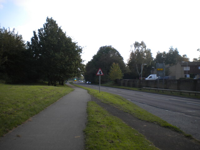
Image: © Richard Vince Taken: 9 Oct 2021
Linking Northampton's easternmost housing estates with the A45, severing many said estates from one another in the process. At this point, the road firmly separates Overstone Lodge (right) from Rectory Farm (just out of frame to the left); they are linked by a footbridge immediately behind (and well above) the photographer.
Images are licensed for reuse under creativecommons.org/licenses/by-sa/2.0
Image Location
Latitude
52.272057
Longitude
-0.81331