
IMAGES TAKEN NEAR TO
Arthur Street, NOTTINGHAM, NG7 4DW
Introduction
This page details the photographs taken nearby to Arthur Street, NG7 4DW by members of the Geograph project.
The Geograph project started in 2005 with the aim of publishing, organising and preserving representative images for every square kilometre of Great Britain, Ireland and the Isle of Man.

There are currently over 7.5m images from over14,400 individuals and you can help contribute to the project by visiting https://www.geograph.org.uk
Image Map
Images are licensed for reuse under creativecommons.org/licenses/by-sa/2.0
Notes
- Clicking on the map will re-center to the selected point.
- The higher the marker number, the further away the image location is from the centre of the postcode.
Image Listing (279 Images Found)
Images are licensed for reuse under creativecommons.org/licenses/by-sa/2.0
Image
Details
Distance
1
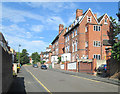
Victorian houses on Arthur Street
These streets of substantial houses are part of Nottingham's first suburbs, built to the north of the city's mediaeval core in the years following the Enclosure Act of 1845.
Image: © John Sutton
Taken: 23 Aug 2013
0.02 miles
2
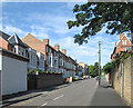
Up Arthur Street
These streets of substantial houses are part of Nottingham's first suburbs, built on the hill to the north of the city's mediaeval core in the years following the Enclosure Act of 1845.
Image: © John Sutton
Taken: 23 Aug 2013
0.03 miles
4
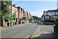
Gedling Grove
A view from the corner of Arthur Street on a bright August morning. These streets of substantial houses are part of Nottingham's first suburbs, built to the north of the city's mediaeval core in the years following the Enclosure Act of 1845.
Image: © John Sutton
Taken: 23 Aug 2013
0.04 miles
5
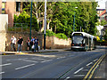
Waverley Street, Nottingham
A tram heads down Waverley Street towards the city centre.
Image: © Stephen McKay
Taken: 3 Jul 2008
0.04 miles
6
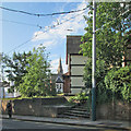
Waverley Street and All Saints' spire
The area north-west of the city's mediaeval core was developed in the years after the Enclosure Act of 1845. All Saints' Church dates from 1863-4 (see Image]). The pole supports the tram wires.
Image: © John Sutton
Taken: 23 Aug 2013
0.04 miles
7
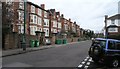
Gedling Grove, Nottingham
At the junction with Arthur Street.
Image: © David Lally
Taken: 6 Mar 2008
0.04 miles
8
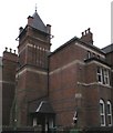
House with tower
On Gedling Grove, Nottingham. Rather strange example of the dramatic Victorian architecture in this inner suburb of the city.
I lived in this house in my 3rd year at Nottingham University and for about nine months after.
Image: © David Lally
Taken: 6 Mar 2008
0.04 miles
9
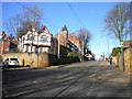
The northern end of Waverley Street, Arboretum
Looking up Waverley Street from the west end of Arboretum Street, Waverley Street is used by the Nottingham Express Transit tramway to access Nottingham city centre. Apart from the trams, there is very little road traffic here, so it is also a very pleasant way to walk into town, particularly on such a sunny day.
Image: © Richard Vince
Taken: 4 Feb 2013
0.05 miles
10
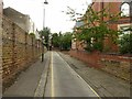
Burns Avenue, Nottingham
An unusually narrow street, part of the mid-19th century development of this part of Nottingham following the Inclosure Act of 1845.
Image: © Alan Murray-Rust
Taken: 26 Jul 2019
0.05 miles