Waverley Street and All Saints' spire
Introduction
The photograph on this page of Waverley Street and All Saints' spire by John Sutton as part of the Geograph project.
The Geograph project started in 2005 with the aim of publishing, organising and preserving representative images for every square kilometre of Great Britain, Ireland and the Isle of Man.

There are currently over 7.5m images from over 14,400 individuals and you can help contribute to the project by visiting https://www.geograph.org.uk
Waverley Street and All Saints' spire
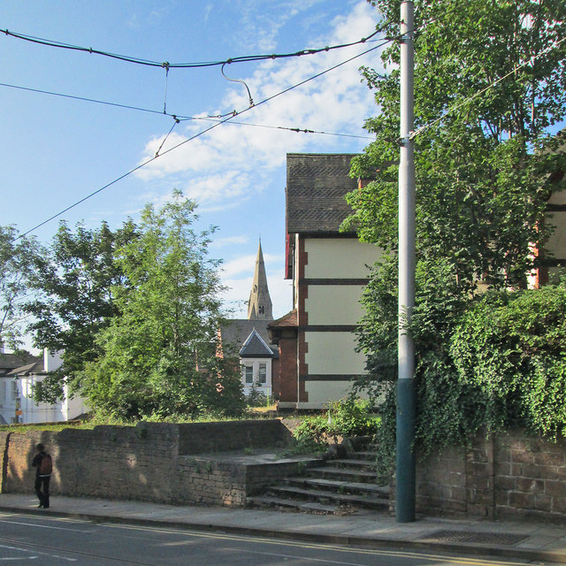
Image: © John Sutton Taken: 23 Aug 2013
The area north-west of the city's mediaeval core was developed in the years after the Enclosure Act of 1845. All Saints' Church dates from 1863-4 (see Image]). The pole supports the tram wires.
Images are licensed for reuse under creativecommons.org/licenses/by-sa/2.0
Image Location
Latitude
52.961605
Longitude
-1.161058