IMAGES TAKEN NEAR TO
Wellington Terrace, Arundel Street, NOTTINGHAM, NG7 1NH
Introduction
This page details the photographs taken nearby to Wellington Terrace, Arundel Street, NG7 1NH by members of the Geograph project.
The Geograph project started in 2005 with the aim of publishing, organising and preserving representative images for every square kilometre of Great Britain, Ireland and the Isle of Man.

There are currently over 7.5m images from over14,400 individuals and you can help contribute to the project by visiting https://www.geograph.org.uk
Image Map
Images are licensed for reuse under creativecommons.org/licenses/by-sa/2.0
Notes
- Clicking on the map will re-center to the selected point.
- The higher the marker number, the further away the image location is from the centre of the postcode.
Image Listing (321 Images Found)
Images are licensed for reuse under creativecommons.org/licenses/by-sa/2.0
Image
Details
Distance
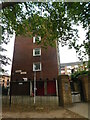
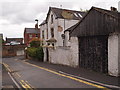
7
Down Arundel Street
A street of mid- and late-Victorian houses between Derby Road and Ilkeston Road (ahead).
Image: © John Sutton
Taken: 16 Apr 2022
0.03 miles
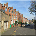
8
On Ashbourne Street
A cul-de-sac off Arundel Street (ahead), between Derby Road and Ilkeston Road.
Image: © John Sutton
Taken: 16 Apr 2022
0.04 miles
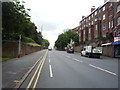
9
Nottingham - NG7
A view from the closed end of this cul-de-sac that forms part of Arundel Street, looking towards the top bar of its 'T' shape. The steep downhill branch on the right links up with Ilkeston Road (A609) and the less steep left hand one, with Derby Road (A6200).
Image: © David Hallam-Jones
Taken: 5 May 2012
0.05 miles
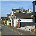
10
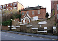
United Holy Church of God
An evangelical church occupying what used to be the Sunday school of the Congregational Church on Derby Road (now the Greek Orthodox Church http://www.geograph.org.uk/photo/1978711 )
Image: © Alan Murray-Rust
Taken: 16 Feb 2014
0.05 miles