Nottingham - NG7
Introduction
The photograph on this page of Nottingham - NG7 by David Hallam-Jones as part of the Geograph project.
The Geograph project started in 2005 with the aim of publishing, organising and preserving representative images for every square kilometre of Great Britain, Ireland and the Isle of Man.

There are currently over 7.5m images from over 14,400 individuals and you can help contribute to the project by visiting https://www.geograph.org.uk
Nottingham - NG7
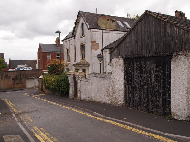
Image: © David Hallam-Jones Taken: 5 May 2012
A view from the closed end of this cul-de-sac that forms part of Arundel Street, looking towards the top bar of its 'T' shape. The steep downhill branch on the right links up with Ilkeston Road (A609) and the less steep left hand one, with Derby Road (A6200).
Images are licensed for reuse under creativecommons.org/licenses/by-sa/2.0
Image Location
Latitude
52.955261
Longitude
-1.166539