
IMAGES TAKEN NEAR TO
Redhill Road, NOTTINGHAM, NG5 8HA
Introduction
This page details the photographs taken nearby to Redhill Road, NG5 8HA by members of the Geograph project.
The Geograph project started in 2005 with the aim of publishing, organising and preserving representative images for every square kilometre of Great Britain, Ireland and the Isle of Man.

There are currently over 7.5m images from over14,400 individuals and you can help contribute to the project by visiting https://www.geograph.org.uk
Image Map
Images are licensed for reuse under creativecommons.org/licenses/by-sa/2.0
Notes
- Clicking on the map will re-center to the selected point.
- The higher the marker number, the further away the image location is from the centre of the postcode.
Image Listing (47 Images Found)
Images are licensed for reuse under creativecommons.org/licenses/by-sa/2.0
Image
Details
Distance
1
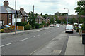
Redhill Road
The original village of Arnold was built away from the main North Road out of Nottingham; this was the connecting road northwards.
Image: © Alan Murray-Rust
Taken: 6 Jul 2010
0.03 miles
2
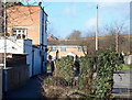
Redhill, NG5, Notts.
The short public footpath on the northern elevation of The Ram Inn connecting the front of "The Ram" (ahead) and Lodge Farm Lane (behind). The car park on the right of the picture belongs to the adjacent pub, The Waggon & Horses. The houses on the opposite side of the A60 (the Mansfield-Nottingham road) are in Larkspur Avenue.
Image: © David Hallam-Jones
Taken: 16 Feb 2014
0.05 miles
3
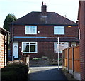
Redhill, NG5, Notts.
The exit (or entrance) to the short footpath that runs along the southern elevation of The Ram Inn and links the A60 (the main Nottingham-Mansfield Road) with Lodge Farm Lane (ahead).
Image: © David Hallam-Jones
Taken: 16 Feb 2014
0.05 miles
4
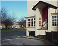
Redhill, NG5, Notts.
The south side elevation of The Ram Inn with a view of Larkspur Avenue on the opposite side of the A60 (the Nottingham-Mansfield Road).
Image: © David Hallam-Jones
Taken: 16 Feb 2014
0.06 miles
5
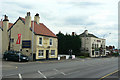
Two pubs at Redhill
The Coach and Horse(s) and the Ram Inn. The latter was a coaching inn, this being the main road north from Nottingham.
Image: © Alan Murray-Rust
Taken: 6 Jul 2010
0.06 miles
6
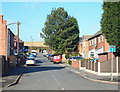
Redhill, NG5, Notts.
This view of Henry Street, with arable land on the skyline, is taken from its junction with the main Nottingham-Mansfield Road (the A60). Immediately in front of the first telegraph pole is Harberton Close. This left hand turning marks the first few metres of a public footpath (route) leading to Bestwood Country Park (a 20 minute walk westwards).
Image: © David Hallam-Jones
Taken: 16 Feb 2014
0.06 miles
8
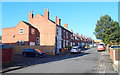
Redhill, NG5, Notts.
Henry Street from the west side of the A60 (the main Mansfield-Nottingham road) with Harberton Close on the left. A rural footpath leading to Bestwood Country Park (20-25 mins walk) commences in Harberton Close.
Image: © David Hallam-Jones
Taken: 16 Feb 2014
0.07 miles
9
Redhill, NG5, Notts.
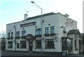
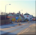
Having descended the A60 from the Mansfield direction, i.e. down Arch Hill, this is the view of Redhill that motorists see first. Dominating the entrance to Redhill are two well-established pubs, The Waggon & Horses - nearest to the camera - and The Ram Inn beyond it. An old farm house at the foot of Red Hill is said to have been a post house where horses could be changed and guides hired by travellers for the journey through Sherwood Forest on the London-York route. Later on it became a coaching inn named The Waggon & Horses.
Image: © David Hallam-Jones
Taken: 16 Feb 2014
0.07 miles
10
Redhill, NG5, Notts.
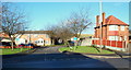
Larkspur Avenue from the side of A60 (Mansfield-Nottingham Road).
Image: © David Hallam-Jones
Taken: 16 Feb 2014
0.07 miles