Redhill, NG5, Notts.
Introduction
The photograph on this page of Redhill, NG5, Notts. by David Hallam-Jones as part of the Geograph project.
The Geograph project started in 2005 with the aim of publishing, organising and preserving representative images for every square kilometre of Great Britain, Ireland and the Isle of Man.

There are currently over 7.5m images from over 14,400 individuals and you can help contribute to the project by visiting https://www.geograph.org.uk
Redhill, NG5, Notts.
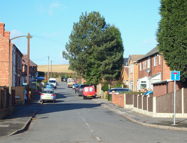
Image: © David Hallam-Jones Taken: 16 Feb 2014
This view of Henry Street, with arable land on the skyline, is taken from its junction with the main Nottingham-Mansfield Road (the A60). Immediately in front of the first telegraph pole is Harberton Close. This left hand turning marks the first few metres of a public footpath (route) leading to Bestwood Country Park (a 20 minute walk westwards).
Images are licensed for reuse under creativecommons.org/licenses/by-sa/2.0
Image Location
Latitude
53.012111
Longitude
-1.133846