IMAGES TAKEN NEAR TO
Retford Road, NEWARK, NG22 9PE
Introduction
This page details the photographs taken nearby to Retford Road, NG22 9PE by members of the Geograph project.
The Geograph project started in 2005 with the aim of publishing, organising and preserving representative images for every square kilometre of Great Britain, Ireland and the Isle of Man.

There are currently over 7.5m images from over14,400 individuals and you can help contribute to the project by visiting https://www.geograph.org.uk
Image Map
Images are licensed for reuse under creativecommons.org/licenses/by-sa/2.0
Notes
- Clicking on the map will re-center to the selected point.
- The higher the marker number, the further away the image location is from the centre of the postcode.
Image Listing (16 Images Found)
Images are licensed for reuse under creativecommons.org/licenses/by-sa/2.0
Image
Details
Distance
1
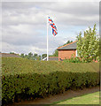
The flag is still flying
Retford Road.
Image: © Steve Fareham
Taken: 8 Aug 2008
0.02 miles
4
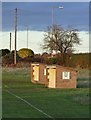
Football team shelters at Walesby sports ground
Image: © Neil Theasby
Taken: 13 Nov 2018
0.05 miles
6
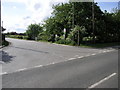
Forest Lane
Forest lane is also a bridleway that leads past Blackcliffe Hill Plantation on its way to the A614.
Image: © Michael Patterson
Taken: 23 May 2006
0.07 miles
7
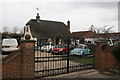
Cars at Biasca
A bungalow and premises of a building contractor (and car enthusiast?) at the northern end of the village
Image: © Graham Hogg
Taken: 30 Mar 2015
0.10 miles
8
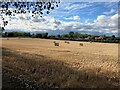
Field of Bales near Walesby
Pictured from a gate entrance by the B6387 road.
Image: © Jonathan Clitheroe
Taken: 2 Aug 2022
0.11 miles