Forest Lane
Introduction
The photograph on this page of Forest Lane by Michael Patterson as part of the Geograph project.
The Geograph project started in 2005 with the aim of publishing, organising and preserving representative images for every square kilometre of Great Britain, Ireland and the Isle of Man.

There are currently over 7.5m images from over 14,400 individuals and you can help contribute to the project by visiting https://www.geograph.org.uk
Forest Lane
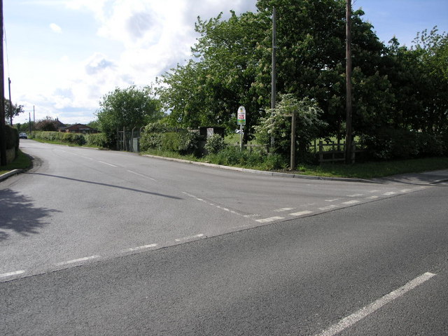
Image: © Michael Patterson Taken: 23 May 2006
Forest lane is also a bridleway that leads past Blackcliffe Hill Plantation on its way to the A614.
Images are licensed for reuse under creativecommons.org/licenses/by-sa/2.0
Image Location
Latitude
53.232618
Longitude
-0.98573