IMAGES TAKEN NEAR TO
NE29 6YP
Introduction
This page details the photographs taken nearby to NE29 6YP by members of the Geograph project.
The Geograph project started in 2005 with the aim of publishing, organising and preserving representative images for every square kilometre of Great Britain, Ireland and the Isle of Man.

There are currently over 7.5m images from over14,400 individuals and you can help contribute to the project by visiting https://www.geograph.org.uk
Image Map
Images are licensed for reuse under creativecommons.org/licenses/by-sa/2.0
Notes
- Clicking on the map will re-center to the selected point.
- The higher the marker number, the further away the image location is from the centre of the postcode.
Image Listing (8 Images Found)
Images are licensed for reuse under creativecommons.org/licenses/by-sa/2.0
Image
Details
Distance
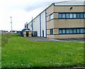
2
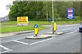
Silverlink Industrial Estate
One of the many new factories on the Silverlink Industrial Estate.
Image: © Weston Beggard
Taken: 13 Nov 2005
0.13 miles
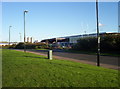
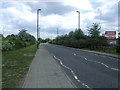
3
Disused Waggonway
One of the many waggonways in the area which has been reclaimed for use as a cycle track/footpath.
Image: © Weston Beggard
Taken: 13 Nov 2005
0.13 miles
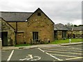
4
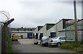
Industrial units, North Balkwell Farm Industrial Estate
Image: © Alex McGregor
Taken: 21 May 2012
0.13 miles
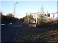
8
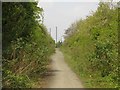
Path on former waggonway
A well used footpath now makes use of a former waggonway which leads down to the north side of the River Tyne.
Image: © Graham Robson
Taken: 1 May 2017
0.25 miles