Path on former waggonway
Introduction
The photograph on this page of Path on former waggonway by Graham Robson as part of the Geograph project.
The Geograph project started in 2005 with the aim of publishing, organising and preserving representative images for every square kilometre of Great Britain, Ireland and the Isle of Man.

There are currently over 7.5m images from over 14,400 individuals and you can help contribute to the project by visiting https://www.geograph.org.uk
Path on former waggonway
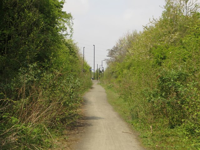
Image: © Graham Robson Taken: 1 May 2017
A well used footpath now makes use of a former waggonway which leads down to the north side of the River Tyne.
Images are licensed for reuse under creativecommons.org/licenses/by-sa/2.0
Image Location
Latitude
55.016483
Longitude
-1.495778