IMAGES TAKEN NEAR TO
Millfield Lane, LONDON, N6 6HQ
Introduction
This page details the photographs taken nearby to Millfield Lane, N6 6HQ by members of the Geograph project.
The Geograph project started in 2005 with the aim of publishing, organising and preserving representative images for every square kilometre of Great Britain, Ireland and the Isle of Man.

There are currently over 7.5m images from over14,400 individuals and you can help contribute to the project by visiting https://www.geograph.org.uk
Image Map
Images are licensed for reuse under creativecommons.org/licenses/by-sa/2.0
Notes
- Clicking on the map will re-center to the selected point.
- The higher the marker number, the further away the image location is from the centre of the postcode.
Image Listing (100 Images Found)
Images are licensed for reuse under creativecommons.org/licenses/by-sa/2.0
Image
Details
Distance
3
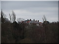
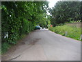
View of a large building on Highgate West Hill from the hill at the back of Kenwood House
Looking south-southeast.
Image: © Robert Lamb
Taken: 2 Mar 2014
0.04 miles
5
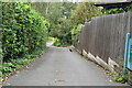
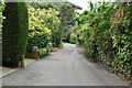
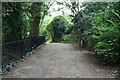
Fitzroy Park, Highgate
Private road, now closed to through traffic.
Image: © David Howard
Taken: 28 May 2009
0.05 miles
6
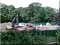
Demolished, Fitzroy Farm, Parliament Hill
Image: © Alex McGregor
Taken: 9 Jun 2011
0.06 miles
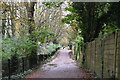
9
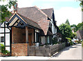
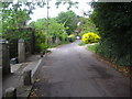
Houses, Fitzroy Park
Fitzroy Park is a private road on the edge of Hampstead Heath.
Image: © Jim Osley
Taken: 17 Jun 2016
0.07 miles