IMAGES TAKEN NEAR TO
Lyndhurst Road, LONDON, N22 5AU
Introduction
This page details the photographs taken nearby to Lyndhurst Road, N22 5AU by members of the Geograph project.
The Geograph project started in 2005 with the aim of publishing, organising and preserving representative images for every square kilometre of Great Britain, Ireland and the Isle of Man.

There are currently over 7.5m images from over14,400 individuals and you can help contribute to the project by visiting https://www.geograph.org.uk
Image Map
Images are licensed for reuse under creativecommons.org/licenses/by-sa/2.0
Notes
- Clicking on the map will re-center to the selected point.
- The higher the marker number, the further away the image location is from the centre of the postcode.
Image Listing (30 Images Found)
Images are licensed for reuse under creativecommons.org/licenses/by-sa/2.0
Image
Details
Distance
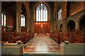
1
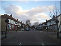
Arcadian Gardens, Wood Green
At the junction of Cross Road
Image: © David Howard
Taken: 7 Jan 2014
0.09 miles
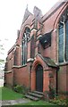
2
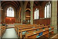
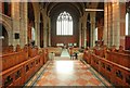
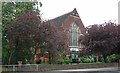
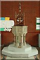
St Cuthbert, Wolves Lane - South arcade
Image: © John Salmon
Taken: 11 Nov 2011
0.10 miles
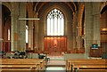
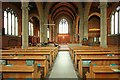
7
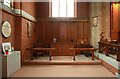
St Cuthbert, Wolves Lane - North chapel
Image: © John Salmon
Taken: 11 Nov 2011
0.11 miles