IMAGES TAKEN NEAR TO
Markfield Road, LONDON, N15 4RG
Introduction
This page details the photographs taken nearby to Markfield Road, N15 4RG by members of the Geograph project.
The Geograph project started in 2005 with the aim of publishing, organising and preserving representative images for every square kilometre of Great Britain, Ireland and the Isle of Man.

There are currently over 7.5m images from over14,400 individuals and you can help contribute to the project by visiting https://www.geograph.org.uk
Image Map
Images are licensed for reuse under creativecommons.org/licenses/by-sa/2.0
Notes
- Clicking on the map will re-center to the selected point.
- The higher the marker number, the further away the image location is from the centre of the postcode.
Image Listing (129 Images Found)
Images are licensed for reuse under creativecommons.org/licenses/by-sa/2.0
Image
Details
Distance
2
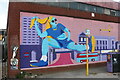
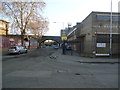
Mural on Markfield Road, Tottenham Hale
Image: © David Howard
Taken: 19 May 2024
0.04 miles
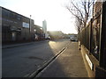
3
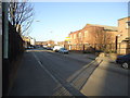
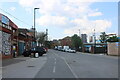
Businesses on Markfield Road, Tottenham Hale
Image: © David Howard
Taken: 19 May 2024
0.05 miles
5
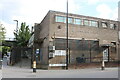
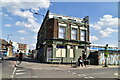
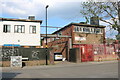
H Lesser and Sons on Constable Crescent, Tottenham Hale
Like Sunshine Desserts in Reginald Perrin, all that remains of the name is S S S. They are fabric merchants, and share the building with Winner Foods who have the right half of the block.
Image: © David Howard
Taken: 19 May 2024
0.06 miles