IMAGES TAKEN NEAR TO
Lullington Garth, LONDON, N12 7BS
Introduction
This page details the photographs taken nearby to Lullington Garth, N12 7BS by members of the Geograph project.
The Geograph project started in 2005 with the aim of publishing, organising and preserving representative images for every square kilometre of Great Britain, Ireland and the Isle of Man.

There are currently over 7.5m images from over14,400 individuals and you can help contribute to the project by visiting https://www.geograph.org.uk
Image Map
Images are licensed for reuse under creativecommons.org/licenses/by-sa/2.0
Notes
- Clicking on the map will re-center to the selected point.
- The higher the marker number, the further away the image location is from the centre of the postcode.
Image Listing (26 Images Found)
Images are licensed for reuse under creativecommons.org/licenses/by-sa/2.0
Image
Details
Distance
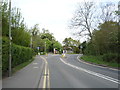
3
Garden on the corner of Partingdale Lane, Mill Hill
Image: © David Howard
Taken: 23 Sep 2021
0.07 miles
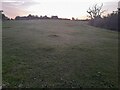
5
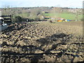
Muddy field at Frith Manor
There's a footpath around here somewhere...
Image: © Peter S
Taken: 10 Mar 2019
0.08 miles
6
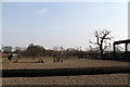
London Equestrian Centre
A view of the arena where riders can practice their show-jumping technique.
Image: © Martin Addison
Taken: 11 Mar 2012
0.09 miles
7
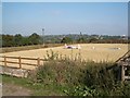
Riding School, near Mill Hill
Frith Manor Equestrian Centre
Image: © Keith Salvesen
Taken: 23 Oct 2007
0.12 miles
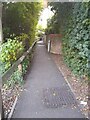
8
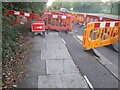
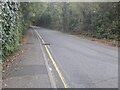
Pavement works on Lullington Garth, Woodside Park
Image: © David Howard
Taken: 23 Sep 2021
0.12 miles
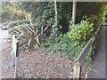
9
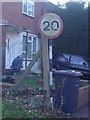
New sign on old pole, Inglis Barracks
The sign is useless now as the road has been closed entirely.
Image: © David Howard
Taken: 26 Dec 2008
0.13 miles