
IMAGES TAKEN NEAR TO
AIRDRIE, ML6 9RF
Introduction
This page details the photographs taken nearby to ML6 9RF by members of the Geograph project.
The Geograph project started in 2005 with the aim of publishing, organising and preserving representative images for every square kilometre of Great Britain, Ireland and the Isle of Man.

There are currently over 7.5m images from over14,400 individuals and you can help contribute to the project by visiting https://www.geograph.org.uk
Image Map
Images are licensed for reuse under creativecommons.org/licenses/by-sa/2.0
Notes
- Clicking on the map will re-center to the selected point.
- The higher the marker number, the further away the image location is from the centre of the postcode.
Image Listing (11 Images Found)
Images are licensed for reuse under creativecommons.org/licenses/by-sa/2.0
Image
Details
Distance
1
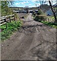
Track leading to Faskine Farm
Just south of Monkland Canal
Image: © Jim Smillie
Taken: 12 Apr 2021
0.03 miles
2
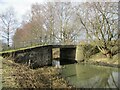
Lower Faskine Bridge
The bridge spans the Monkland Canal, constructed in the late eighteenth century to transport coal from the Lanarkshire coalfields to the growing city of Glasgow.
Image: © Alan O'Dowd
Taken: 13 Mar 2021
0.04 miles
3
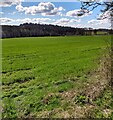
Field west of Faskine Farm
Probably barley on flat land between Monkland Canal and North Calder
Image: © Jim Smillie
Taken: 12 Apr 2021
0.08 miles
4
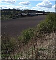
Faskine Farm
View over newly cultivated field
Image: © Jim Smillie
Taken: 12 Apr 2021
0.13 miles
5
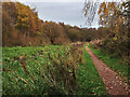
Monkland Canal near Calderbank
Faskine Colliery was on the far bank of the canal.
Image: © wrobison
Taken: 26 Oct 2024
0.15 miles
6
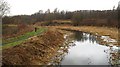
Monkland Canal
Built in the late 18th century to carry coal to Glasgow from the Lanarkshire coalfield. After nearly a fortnight of relatively mild weather, the ice had just about melted.
Image: © Richard Webb
Taken: 22 Jan 2010
0.20 miles
7
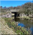
Bridge over Monkland Canal
One of two giving access to Faskine Farm
Image: © Jim Smillie
Taken: 12 Apr 2021
0.22 miles
8

Bridge over the Monkland Canal
The bridge carries a farm track.
Image: © G Laird
Taken: 19 Jun 2012
0.22 miles
9
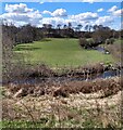
Field in meander loop
North Calder west of Calderbank
Image: © Jim Smillie
Taken: 12 Apr 2021
0.22 miles
10
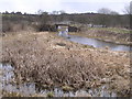
Monkland Canal with Bulrushes
Near Calderbank
Image: © Chris Upson
Taken: 9 Apr 2006
0.23 miles