Monkland Canal
Introduction
The photograph on this page of Monkland Canal by Richard Webb as part of the Geograph project.
The Geograph project started in 2005 with the aim of publishing, organising and preserving representative images for every square kilometre of Great Britain, Ireland and the Isle of Man.

There are currently over 7.5m images from over 14,400 individuals and you can help contribute to the project by visiting https://www.geograph.org.uk
Monkland Canal
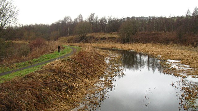
Image: © Richard Webb Taken: 22 Jan 2010
Built in the late 18th century to carry coal to Glasgow from the Lanarkshire coalfield. After nearly a fortnight of relatively mild weather, the ice had just about melted.
Images are licensed for reuse under creativecommons.org/licenses/by-sa/2.0
Image Location
Latitude
55.846621
Longitude
-3.978034