IMAGES TAKEN NEAR TO
Hanover Place, BEDFORD, MK45 4LU
Introduction
This page details the photographs taken nearby to Hanover Place, MK45 4LU by members of the Geograph project.
The Geograph project started in 2005 with the aim of publishing, organising and preserving representative images for every square kilometre of Great Britain, Ireland and the Isle of Man.

There are currently over 7.5m images from over14,400 individuals and you can help contribute to the project by visiting https://www.geograph.org.uk
Image Map
Images are licensed for reuse under creativecommons.org/licenses/by-sa/2.0
Notes
- Clicking on the map will re-center to the selected point.
- The higher the marker number, the further away the image location is from the centre of the postcode.
Image Listing (20 Images Found)
Images are licensed for reuse under creativecommons.org/licenses/by-sa/2.0
Image
Details
Distance
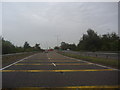
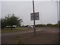
1
Roundabout on Higham Road, Barton-le-Clay
Image: © David Howard
Taken: 28 Feb 2017
0.04 miles
3
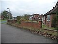
Houses at the northern edge of Barton-le-Clay
At the junction of Hanover Place and Windsor Road.
Image: © Christine Johnstone
Taken: 30 Oct 2014
0.04 miles
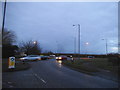
4
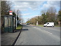
Bus stop and shelter on the B655
Heading north from Barton-le-Clay.
Image: © JThomas
Taken: 25 Mar 2016
0.06 miles
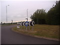
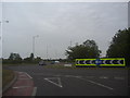
6

Roundabout on Bedford Road, Barton-le-Clay
Image: © David Howard
Taken: 12 Mar 2017
0.07 miles
7
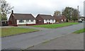
Bungalows, Windsor Road, Barton-le-Clay
At the northern end of this large suburban village.
Image: © Christine Johnstone
Taken: 30 Oct 2014
0.07 miles
9
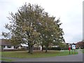
Autumn trees by a postbox and noticeboard
Norman Road, Barton-le-Clay.
Image: © Christine Johnstone
Taken: 30 Oct 2014
0.08 miles