IMAGES TAKEN NEAR TO
Segenhoe Close, BEDFORD, MK43 0UB
Introduction
This page details the photographs taken nearby to Segenhoe Close, MK43 0UB by members of the Geograph project.
The Geograph project started in 2005 with the aim of publishing, organising and preserving representative images for every square kilometre of Great Britain, Ireland and the Isle of Man.

There are currently over 7.5m images from over14,400 individuals and you can help contribute to the project by visiting https://www.geograph.org.uk
Image Map
Images are licensed for reuse under creativecommons.org/licenses/by-sa/2.0
Notes
- Clicking on the map will re-center to the selected point.
- The higher the marker number, the further away the image location is from the centre of the postcode.
Image Listing (23 Images Found)
Images are licensed for reuse under creativecommons.org/licenses/by-sa/2.0
Image
Details
Distance
1
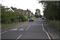
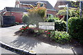
Greensand Ridge Walk crossing Ridgmont High Street
Image: © Mark Anderson
Taken: 28 Jul 2017
0.04 miles
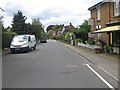
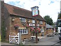
5
Greensand Ridge Walk along Church Street
Image: © Philip Jeffrey
Taken: 19 Sep 2012
0.05 miles
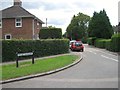
10
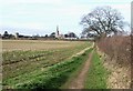
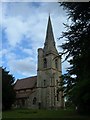
All Saints, Ridgmont from All Saints, Segenhoe
The footpath seen here leads from the ancient settlement of Segenhoe near to Image] through fields to Ridgmont, where the much newer Image] (&Image]) points its steeple to Heaven. Note also the water tower a little way to the south of the church at SP97633593
Image: © Rob Farrow
Taken: 31 Jan 2007
0.10 miles