IMAGES TAKEN NEAR TO
School Lane, SITTINGBOURNE, ME9 8RS
Introduction
This page details the photographs taken nearby to School Lane, ME9 8RS by members of the Geograph project.
The Geograph project started in 2005 with the aim of publishing, organising and preserving representative images for every square kilometre of Great Britain, Ireland and the Isle of Man.

There are currently over 7.5m images from over14,400 individuals and you can help contribute to the project by visiting https://www.geograph.org.uk
Image Map
Images are licensed for reuse under creativecommons.org/licenses/by-sa/2.0
Notes
- Clicking on the map will re-center to the selected point.
- The higher the marker number, the further away the image location is from the centre of the postcode.
Image Listing (97 Images Found)
Images are licensed for reuse under creativecommons.org/licenses/by-sa/2.0
Image
Details
Distance
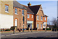
2
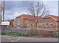
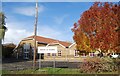
Iwade County Primary school
Additional housing in Iwade has led to the original primary school being significantly expanded. The school now has just under 300 pupils on roll.
Image: © Richard Dorrell
Taken: 29 Mar 2008
0.05 miles
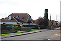
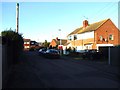
9
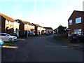
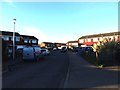
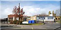
School Lane, Iwade
The eastern end of School Lane has a pharmacy and combined fish bar and Indian takeaway. The other side of these shops opens onto School Mews - a sort of modern village square.
Image: © Stephen McKay
Taken: 5 Feb 2025
0.06 miles