
IMAGES TAKEN NEAR TO
Boxted Lane, SITTINGBOURNE, ME9 7BY
Introduction
This page details the photographs taken nearby to Boxted Lane, ME9 7BY by members of the Geograph project.
The Geograph project started in 2005 with the aim of publishing, organising and preserving representative images for every square kilometre of Great Britain, Ireland and the Isle of Man.

There are currently over 7.5m images from over14,400 individuals and you can help contribute to the project by visiting https://www.geograph.org.uk
Image Map
Images are licensed for reuse under creativecommons.org/licenses/by-sa/2.0
Notes
- Clicking on the map will re-center to the selected point.
- The higher the marker number, the further away the image location is from the centre of the postcode.
Image Listing (10 Images Found)
Images are licensed for reuse under creativecommons.org/licenses/by-sa/2.0
Image
Details
Distance
1
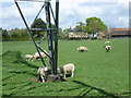
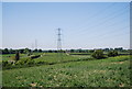
Lambs under a pylon
This is on the footpath from Newington to Upchurch. Boxted Farm is ahead on the other side of Boxted Lane.
Image: © Marathon
Taken: 25 Apr 2015
0.12 miles
2
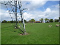
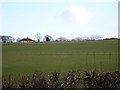
Sheep and lambs under a pylon
This is on the footpath from Newington to Upchurch. Boxted Farm is ahead on the other side of Boxted Lane.
Image: © Marathon
Taken: 25 Apr 2015
0.13 miles
3
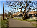
Boxted Barns
A cluster of barn conversions on the north side of Boxted Lane.
Image: © Penny Mayes
Taken: 29 Jan 2006
0.13 miles
4
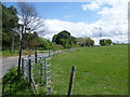
Looking along Boxted Lane
This is the view from the crossroads with Breach Lane, Holywell Lane and Boxted Lane. It looks along Boxted Lane towards Boxted Farm. The footpath reaches Newington via Mill Hill.
Image: © Marathon
Taken: 25 Apr 2015
0.15 miles
7
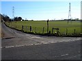
Boxted Lane meets Breach Lane
Looking south east.
Image: © Penny Mayes
Taken: 29 Jan 2006
0.22 miles
8
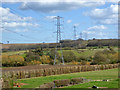
Power line crossing valley
Along the valley are mapped watercress beds.
Image: © Robin Webster
Taken: 21 Mar 2017
0.22 miles
9
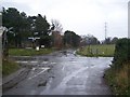
Road Junction on Breach Lane
Holywell Lane from Upchurch meets Breach Lane. Lane heading right leads to Breach/A2, lane heading left leads to Boxted/Lower Halstow.
Holywell Lane carries on to Newington. Footpath on right corner goes to Newington, through fields.
Image: © David Anstiss
Taken: 4 Dec 2008
0.23 miles
10
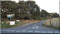
Boxted Lane, near Newington
The blue sign is an indication that National Cycle Network route 1 passes by, on its way from Dover to the Shetland Islands.
Image: © Malc McDonald
Taken: 7 Sep 2013
0.23 miles