IMAGES TAKEN NEAR TO
Homefield Drive, GILLINGHAM, ME8 8RS
Introduction
This page details the photographs taken nearby to Homefield Drive, ME8 8RS by members of the Geograph project.
The Geograph project started in 2005 with the aim of publishing, organising and preserving representative images for every square kilometre of Great Britain, Ireland and the Isle of Man.

There are currently over 7.5m images from over14,400 individuals and you can help contribute to the project by visiting https://www.geograph.org.uk
Image Map (Loading...)


Getting Data...Please wait
Leaflet Map data © OpenStreetMap
Images are licensed for reuse under creativecommons.org/licenses/by-sa/2.0
Notes
- Clicking on the map will re-center to the selected point.
- The higher the marker number, the further away the image location is from the centre of the postcode.
Image Listing (53 Images Found)
Images are licensed for reuse under creativecommons.org/licenses/by-sa/2.0
Image
Details
Distance
7
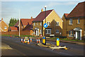
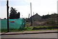
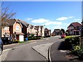
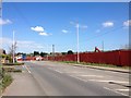
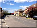
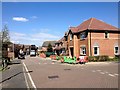
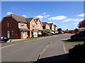
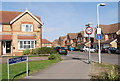
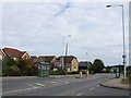
Otterham Quay Lane
New houses are springing up in this area on the edge of Rainham; the road leading off to the right is Quilters Yard.
Image: © Stephen McKay
Taken: 19 Dec 2017
0.08 miles