IMAGES TAKEN NEAR TO
Brabourne Avenue, GILLINGHAM, ME8 6SD
Introduction
This page details the photographs taken nearby to Brabourne Avenue, ME8 6SD by members of the Geograph project.
The Geograph project started in 2005 with the aim of publishing, organising and preserving representative images for every square kilometre of Great Britain, Ireland and the Isle of Man.

There are currently over 7.5m images from over14,400 individuals and you can help contribute to the project by visiting https://www.geograph.org.uk
Image Map
Images are licensed for reuse under creativecommons.org/licenses/by-sa/2.0
Notes
- Clicking on the map will re-center to the selected point.
- The higher the marker number, the further away the image location is from the centre of the postcode.
Image Listing (52 Images Found)
Images are licensed for reuse under creativecommons.org/licenses/by-sa/2.0
Image
Details
Distance
9
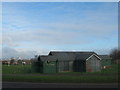
Beeching Pavilion
Small sports Pavilion on Beechings Way beside the large recreational ground in Twydall.
In the background (on the left) Kingsnorth Power Station can be seen.
Image: © David Anstiss
Taken: 20 Jan 2011
0.11 miles
10
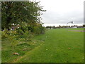
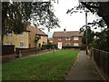
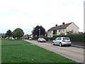
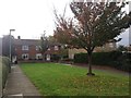
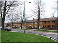
Beechings Playing Fields
This view is from Lower Twydall Lane with Brabourne Avenue on the left beyond the trees.
Image: © Marathon
Taken: 29 Oct 2024
0.13 miles