IMAGES TAKEN NEAR TO
Highgrove Road, CHATHAM, ME5 7SF
Introduction
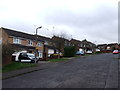
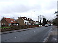
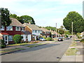
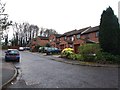
This page details the photographs taken nearby to Highgrove Road, ME5 7SF by members of the Geograph project.
The Geograph project started in 2005 with the aim of publishing, organising and preserving representative images for every square kilometre of Great Britain, Ireland and the Isle of Man.

There are currently over 7.5m images from over14,400 individuals and you can help contribute to the project by visiting https://www.geograph.org.uk
Image Map
Images are licensed for reuse under creativecommons.org/licenses/by-sa/2.0
Notes
- Clicking on the map will re-center to the selected point.
- The higher the marker number, the further away the image location is from the centre of the postcode.
Image Listing (36 Images Found)
Images are licensed for reuse under creativecommons.org/licenses/by-sa/2.0
Image
Details
Distance
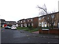
2
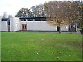
St Simon Stock Church, Weeds Wood
At end of Bleakwood Road, from Walderslade Road.
Beside St Thomas More Catholic Primary School, on righthand side of road.
Image: © David Anstiss
Taken: 11 Nov 2008
0.06 miles
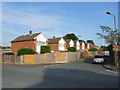
7
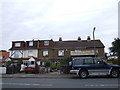
Terraced cottages on Walderslade Road
Image: © Chris Whippet
Taken: 27 Aug 2010
0.13 miles