IMAGES TAKEN NEAR TO
Lysander Road, WEST MALLING, ME19 4TT
Introduction
This page details the photographs taken nearby to Lysander Road, ME19 4TT by members of the Geograph project.
The Geograph project started in 2005 with the aim of publishing, organising and preserving representative images for every square kilometre of Great Britain, Ireland and the Isle of Man.

There are currently over 7.5m images from over14,400 individuals and you can help contribute to the project by visiting https://www.geograph.org.uk
Image Map (Loading...)


Getting Data...Please wait
Leaflet Map data © OpenStreetMap
Images are licensed for reuse under creativecommons.org/licenses/by-sa/2.0
Notes
- Clicking on the map will re-center to the selected point.
- The higher the marker number, the further away the image location is from the centre of the postcode.
Image Listing (42 Images Found)
Images are licensed for reuse under creativecommons.org/licenses/by-sa/2.0
Image
Details
Distance
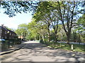
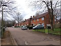
1
Entrance to Hurricane Road, King's Hill
The street name may seem strange initially, but the proximity of this estate to the Second World War West Malling airfield means that this road derived its name from the Hawker Hurricane aeroplane. Other street names in the estate are also derived from WW2 aircraft and include Javelin Road, Spitfire Road, Beafughter Road and Mosquito Road.
Image: © Hywel Williams
Taken: 2 Aug 2005
0.03 miles
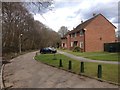
5
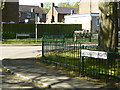
The aeroplane, not the insect
This is one of 6 roads, all named after aircraft, on the opposite side of the A228 to the Kingshill estate.
The Kingshill estate is built on the site of the WW2 RAF West Malling airfield and the houses in the detached 6 roads were the Other Ranks quarters.
Whilst doing my National Service I earned more money baby sitting in these houses than the RAF paid me.
Image: © Ron Lee
Taken: 3 May 2016
0.05 miles
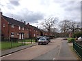
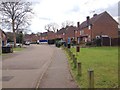
6
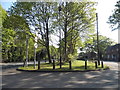
Verge between King Hill and Mosquito Road
Image: © David Howard
Taken: 8 May 2016
0.06 miles
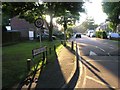
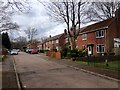
7
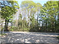
Hurricane Road at the junction of King Hill
Image: © David Howard
Taken: 8 May 2016
0.06 miles