IMAGES TAKEN NEAR TO
Knoll Way, SHEERNESS, ME12 4PA
Introduction
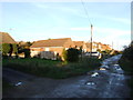
This page details the photographs taken nearby to Knoll Way, ME12 4PA by members of the Geograph project.
The Geograph project started in 2005 with the aim of publishing, organising and preserving representative images for every square kilometre of Great Britain, Ireland and the Isle of Man.

There are currently over 7.5m images from over14,400 individuals and you can help contribute to the project by visiting https://www.geograph.org.uk
Image Map
Images are licensed for reuse under creativecommons.org/licenses/by-sa/2.0
Notes
- Clicking on the map will re-center to the selected point.
- The higher the marker number, the further away the image location is from the centre of the postcode.
Image Listing (24 Images Found)
Images are licensed for reuse under creativecommons.org/licenses/by-sa/2.0
Image
Details
Distance
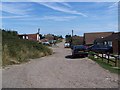
4
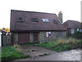
Abandoned bungalow, Sea Approach, Warden
Image: © Chris Whippet
Taken: 23 Nov 2013
0.10 miles
10
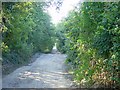
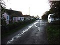
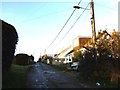
Thornhill Road, Warden
This road runs from the village of Warden right up to the top of the cliff near Warden Point but doesn't look "suitable for vehicles" from this point near the north edge of the square. It's a long drive around via Eastchurch though.
Image: © Penny Mayes
Taken: 17 Aug 2005
0.16 miles