IMAGES TAKEN NEAR TO
Second Avenue, SHEERNESS, ME12 4ER
Introduction
This page details the photographs taken nearby to Second Avenue, ME12 4ER by members of the Geograph project.
The Geograph project started in 2005 with the aim of publishing, organising and preserving representative images for every square kilometre of Great Britain, Ireland and the Isle of Man.

There are currently over 7.5m images from over14,400 individuals and you can help contribute to the project by visiting https://www.geograph.org.uk
Image Map
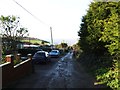
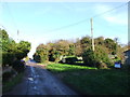
Images are licensed for reuse under creativecommons.org/licenses/by-sa/2.0
Notes
- Clicking on the map will re-center to the selected point.
- The higher the marker number, the further away the image location is from the centre of the postcode.
Image Listing (24 Images Found)
Images are licensed for reuse under creativecommons.org/licenses/by-sa/2.0
Image
Details
Distance
2
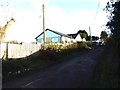
Holiday Park near East Church, Isle of Sheppey, Kent
Image: © Oast House Archive
Taken: 17 Aug 2008
0.04 miles
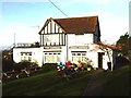
6
Sunnymead Club, Eastchurch Holiday Centre
Image: © Chris Whippet
Taken: 23 Nov 2013
0.16 miles
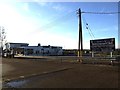
7
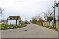
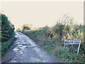
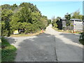
Fourth Avenue, Eastchurch
The entrance to several mobile home and caravan parks covering an extensive area.
Image: © Robin Webster
Taken: 6 Mar 2016
0.17 miles
9
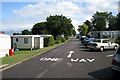
Crossroads, First Avenue
The junction of Surf Crescent is to the left, while that of Elm Way is to the right.
Image: © John Baker
Taken: 16 Sep 2021
0.18 miles