IMAGES TAKEN NEAR TO
Medway Road, SHEERNESS, ME12 1DR
Introduction
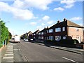
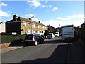
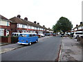
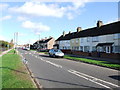
This page details the photographs taken nearby to Medway Road, ME12 1DR by members of the Geograph project.
The Geograph project started in 2005 with the aim of publishing, organising and preserving representative images for every square kilometre of Great Britain, Ireland and the Isle of Man.

There are currently over 7.5m images from over14,400 individuals and you can help contribute to the project by visiting https://www.geograph.org.uk
Image Map
Images are licensed for reuse under creativecommons.org/licenses/by-sa/2.0
Notes
- Clicking on the map will re-center to the selected point.
- The higher the marker number, the further away the image location is from the centre of the postcode.
Image Listing (11 Images Found)
Images are licensed for reuse under creativecommons.org/licenses/by-sa/2.0
Image
Details
Distance
10
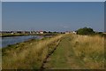
The Canal
The picture shows the urban fringe of the West Minster area of Sheerness. The water is known as “The Canal”
Image: © Glyn Baker
Taken: 11 Aug 2007
0.24 miles