IMAGES TAKEN NEAR TO
Thames Avenue, SHEERNESS, ME12 1DH
Introduction
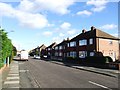
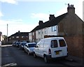
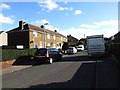
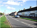
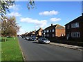
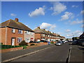
This page details the photographs taken nearby to Thames Avenue, ME12 1DH by members of the Geograph project.
The Geograph project started in 2005 with the aim of publishing, organising and preserving representative images for every square kilometre of Great Britain, Ireland and the Isle of Man.

There are currently over 7.5m images from over14,400 individuals and you can help contribute to the project by visiting https://www.geograph.org.uk
Image Map
Images are licensed for reuse under creativecommons.org/licenses/by-sa/2.0
Notes
- Clicking on the map will re-center to the selected point.
- The higher the marker number, the further away the image location is from the centre of the postcode.
Image Listing (16 Images Found)
Images are licensed for reuse under creativecommons.org/licenses/by-sa/2.0
Image
Details
Distance
10

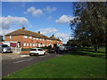
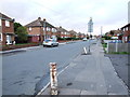
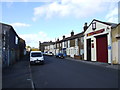
Festival Field Gate
Entrance to a small sports field at the back of terraced houses on Broad Street.
At end of Railway Row. The Railway line is to the right of the photo.
Image: © David Anstiss
Taken: 22 Oct 2008
0.21 miles