
IMAGES TAKEN NEAR TO
High Street, ROCHESTER, ME1 1DJ
Introduction
This page details the photographs taken nearby to High Street, ME1 1DJ by members of the Geograph project.
The Geograph project started in 2005 with the aim of publishing, organising and preserving representative images for every square kilometre of Great Britain, Ireland and the Isle of Man.

There are currently over 7.5m images from over14,400 individuals and you can help contribute to the project by visiting https://www.geograph.org.uk
Image Map
Images are licensed for reuse under creativecommons.org/licenses/by-sa/2.0
Notes
- Clicking on the map will re-center to the selected point.
- The higher the marker number, the further away the image location is from the centre of the postcode.
Image Listing (355 Images Found)
Images are licensed for reuse under creativecommons.org/licenses/by-sa/2.0
Image
Details
Distance
5
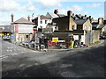
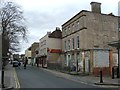
The Britannia, 376, High Street, Rochester
Viewed from St Bartholomew’s Lane, planning permission has been approved, with conditions, by Medway Council under application number MC/19/2799 for the “change of use of existing public house and associated flat over to four 2-bedroom flats with associated two storey rear extension and internal alterations (demolition of existing single storey rear projections)”.
This view shows the front of Image
Image: © John Baker
Taken: 26 Feb 2020
0.01 miles
7
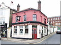
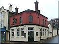
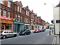
The Britannia, Rochester
Formerly the Ordnance Arms.
Image: © Chris Whippet
Taken: 14 Apr 2010
0.01 miles
8
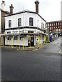
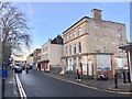
The Britannia, 376, High Street, Rochester
Planning permission has been approved, with conditions, by Medway Council under application number MC/19/2799 for the “change of use of existing public house and associated flat over to four 2-bedroom flats with associated two storey rear extension and internal alterations (demolition of existing single storey rear projections)”.
This view shows the back of Image
Image: © John Baker
Taken: 26 Feb 2020
0.01 miles
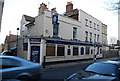
10
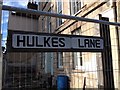
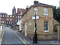
Vintage street nameplate, Hulkes Lane, Rochester
This nameplate seems to have been made up in the style of 1970s/80s car registration plates.
Image: © Chris Whippet
Taken: 7 Oct 2014
0.02 miles